
Google Maps Blue Lines Explained: Water, Routes, and Street View
Executive Briefing
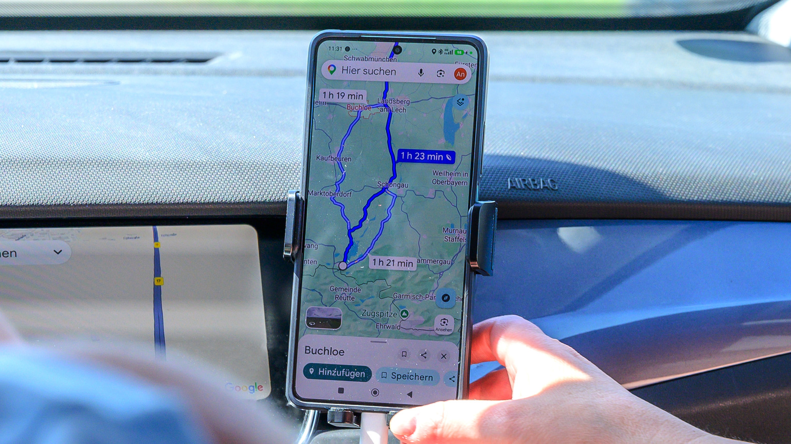
- Distinguishes three blue shades: light blue for waterways, dark blue for active navigation routes, teal for Street View coverage
- Redesigned in 2023, Google Maps shifted roads from yellow to gray and standardized water as light blue globally
- Reduces confusion by switching to Satellite mode to confirm whether blue lines represent canals or roads
- Expanded in 2025, the Transit layer adds transit lines in various colors, including blue, when manually enabled
Sponsored